Cruising Guides for the Sea of Cortez
Updated 21 Aug 2022
There are a bunch of good reads for the sea of cortez, most people make do with just the 'Shawn and Heather' book, and whilst there is a lot of overlap between the various guides, each guide has their own unique take on the various anchorages, as well as a few hidden gems.
In addition to the cruising guides, its well worth picking up a set of paper charts, and having a read through some of the other non-sailing related books for the region, which can provide some great insight into the history and modern day Baja.
Shawn and Heather
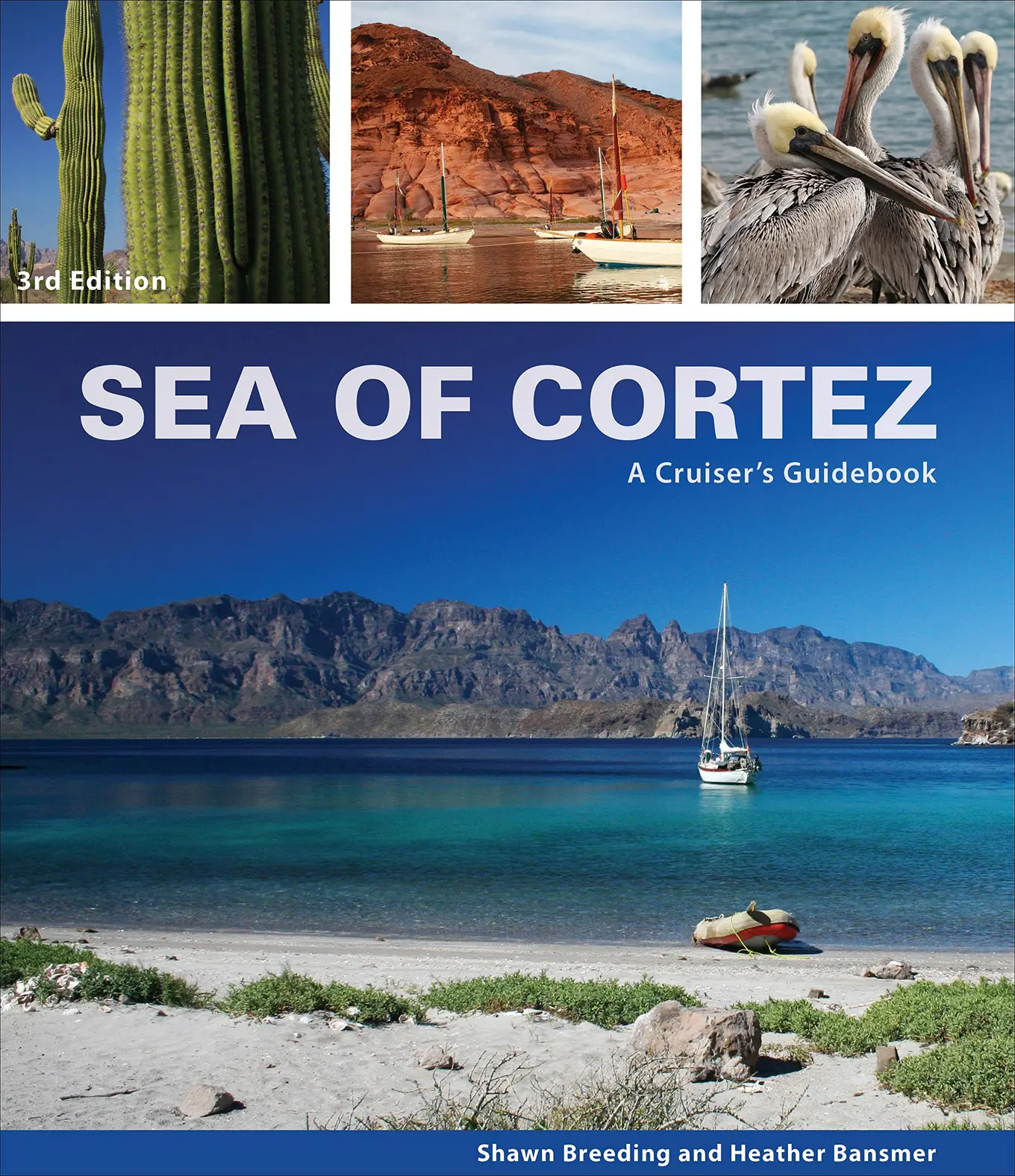
Sea of Cortez: A Cruiser's Guidebook available from Blue Latitude Press is more commonly known as the Shawn and Heather book is often the go to book for the sea of cortez. I like the clear charts, which are often more detailed and easier to read than both the official paper charts and anything you'll find on Navionics or your chart plotter.
They have also done a great job of researching the history of locations you'll be visiting, with good detail into why some anchorages get their name, and the history behind some of the towns, buildings, and ruins you'll see along your way.
We've generally found the guide represents reality - I've never felt that the author has not personally been there.
Mexico Boating Guide
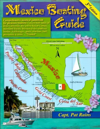
The Pat Rains guide to pacific mexico covers Baja pretty well, like the Charlies Charts book it's more focused on the technical details, and it is more concise than Shawn and Heather. I've found some of the information is a little out of date, for example it mentions you can still anchor inside Puerto Escondido, which hasn't been possible for quite some years now.
That said the information on the anchorages is accurate, and there are a number of anchorages here that are not in either Sean and Heather or Charlies Charts.
Charlie's Charts: Western Coast of Mexico and Baja
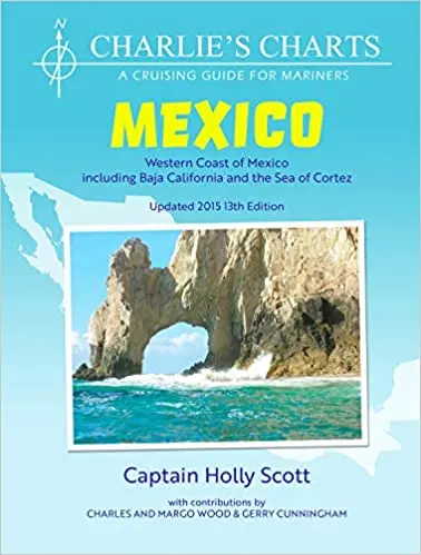
Holly Scott's book is a pretty solid guide to Baja, there are hand drawn charts and approach drawings which are pretty useful. They aren't as clear or accurate as Shawn and Heather's but they come in real handy at times.
I also like that there is a lot of smaller, lesser known anchorages in here, even if they are more marginal they often make great lunch stops.
Navionics
The navionics charts are so-so in Baja, the coast line is generally accurate, but depths can be way off. Mostly when you approach an anchorage, you'll just be in an 'uncharted' area, relying on either soundings from other users, or notes added in rather than the actual charts itself.
That said the active captain resources are really useful, and its generally better than any of the other electronic charts with a few exceptions.
Blue Latitude Electronic Charts
These are based on the drawings in the Shawn and Heather book, and can be well worth the money if your plotter supports them or you are using apps like iNavX.