Santa Rosalia - BCS, Mexico
Santa Rosalia (27°20′N 112°15′W), BCS, Mexico, is an anchorage with 4G data coverage and working Starlink.
Location
4G dataStarlink
About this Anchorage
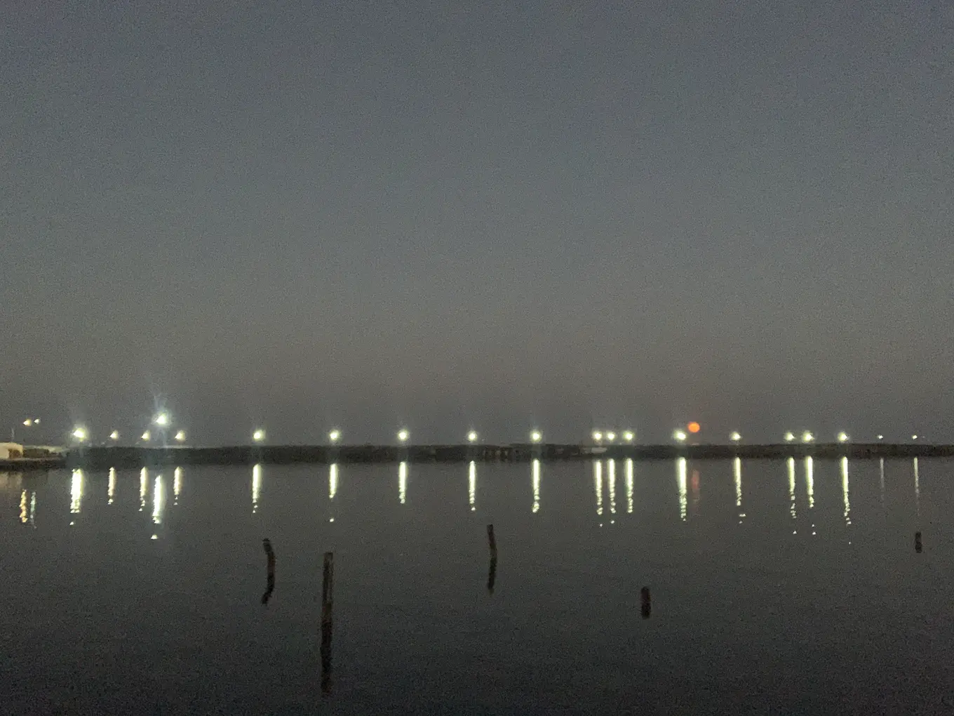
Santa Rosalia is a cute little mining town, with a protected harbour and fonatur marina. Ashore there is a Ley, as well as a bunch of smaller tiendas, a French patisserie, mining museums, a church built by Gustave Eiffel.
The Fonatur marina is excellent value, and is typically our preferred option for visiting the town, as it gets hot as balls inside the harbour walls. We do often anchor here on arrival whilst we sort our selves out, or to get ready before going out to sea, and have spent a night or two on the hook here too.
Right outside the marina is a small tienda with a good stock of sodas and beers, and south along the highway is a larger mini-super. The Ley is to the north a short walk away.
There are a bunch of good food options right by the marina for tacos and mexican fare, the restaurant across the road is pretty decent too.
There are a bunch of bakeries in town, the 'official' one is near the church, but we found much the same at the one next to the marina.
Santa Rosalia is just 60 or so miles to San Carlos, which makes it a popular destination for people crossing over the sea, and it is the last big town you'll find if heading north.
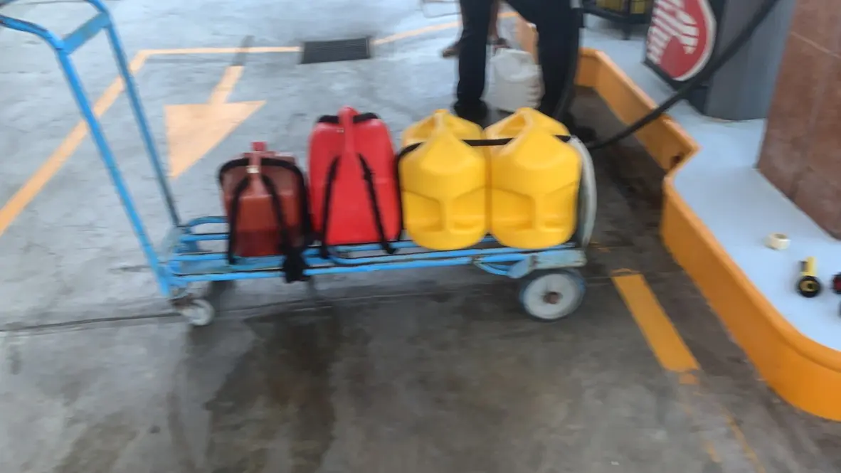
There is a fuel dock, which almost always has gas, and usually has diesel. If it's out of diesel you can borrow a dock cart and fill up at the Pemex across the road. This is also a cheaper option if you don't want to fork out the small dockage fee for the fuel dock.
Anchoring Notes
So before coming into the harbour, make sure you have an up to date chart of the inside of the harbour itself. There are a number of hazards at or just below the water line. There's a dolphin which is visible at low water just past the entrance into the marina, and there are numerous hazards further down where the older marina was destroyed in a hurricane.
There are numerous reports of people fouling their anchor in here, but so far we've not had any issues.
That said, our approach is to enter between the navigation marks, keep a rough transit with the transit marks and drop the hook pretty much bang in the middle about in line where the old pier would have been. Given the choice we do this at low water so we can see some of the debris, but its not actually as hard as it sounds. We do however take it dead slow, especially when entering at night.
Quick Answers
- Where is Santa Rosalia?
- Santa Rosalia is at 27°20′N 112°15′W in BCS, Mexico.
- Is there cell service at Santa Rosalia?
- Santa Rosalia has 4G data coverage, but Starlink works here.
- Does Starlink work at Santa Rosalia?
- Yes — SV Ursa used Starlink at Santa Rosalia.
Weather
Loading live conditions…
Tide
Loading the tide model…