Isla San Estaban - Baja California, Mexico
Isla San Estaban (28°41′N 112°32′W), Baja California, Mexico, is an anchorage with no cell service and working Starlink, surveyed first-hand from SV Ursa across 1 visit (1 night at anchor).
Location
No cell serviceStarlink
About this Anchorage
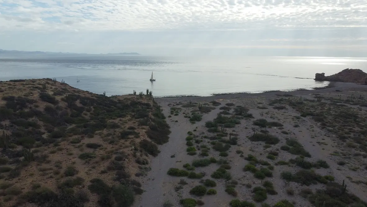
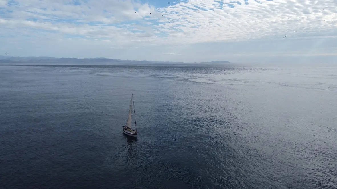
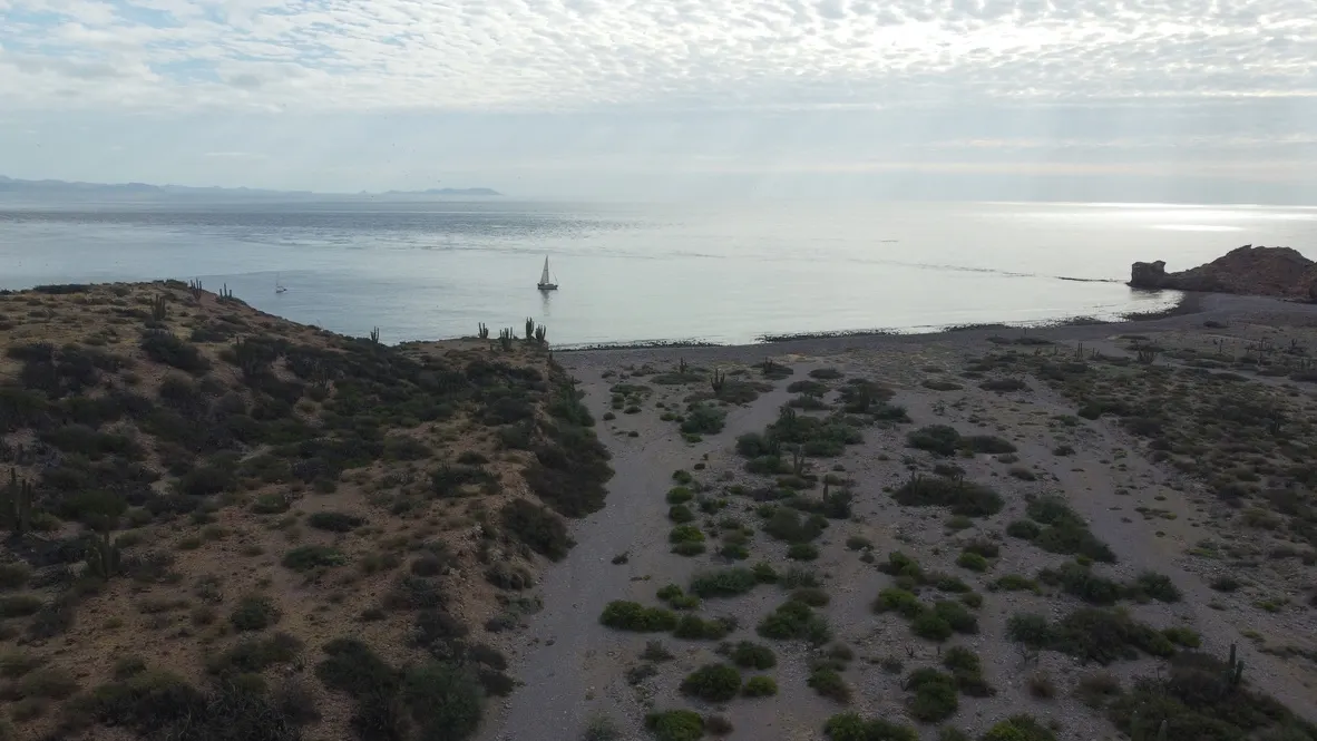
Isla San Estaban is a rocky island in the southern end of the Midriff Islands, it offers minimal protection from the prevailing weather, but can be a good stop when crossing between San Francisquito and Kino.
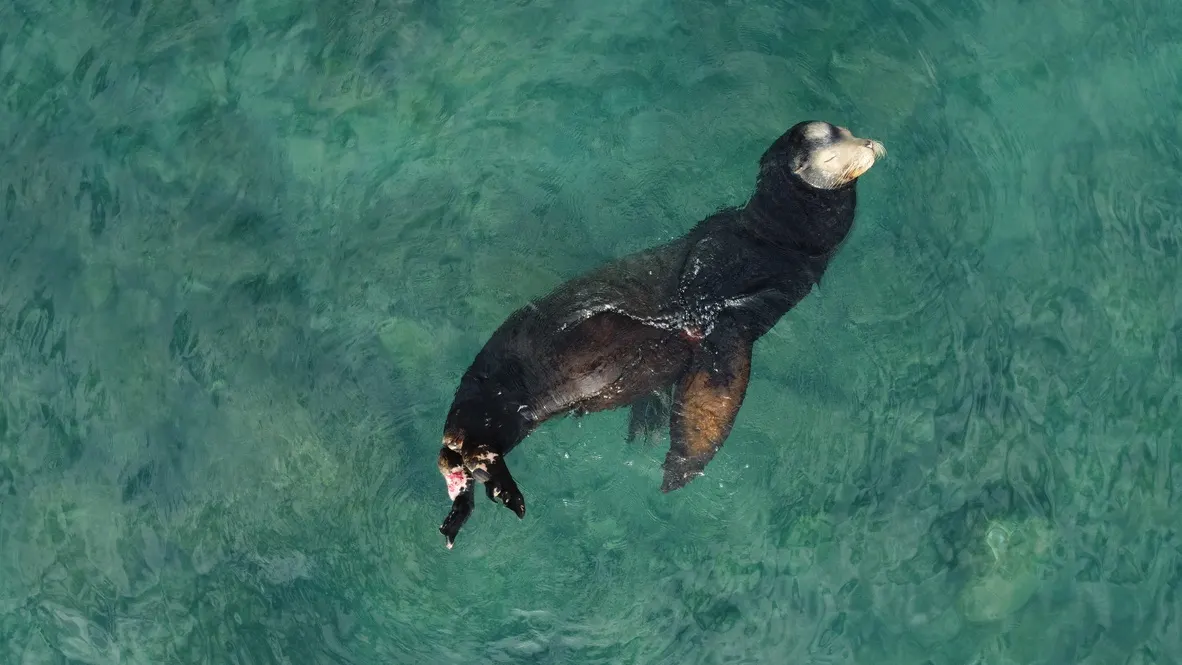
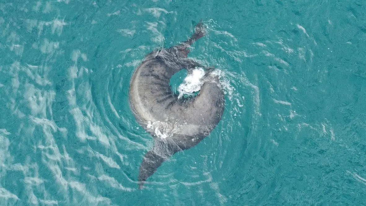
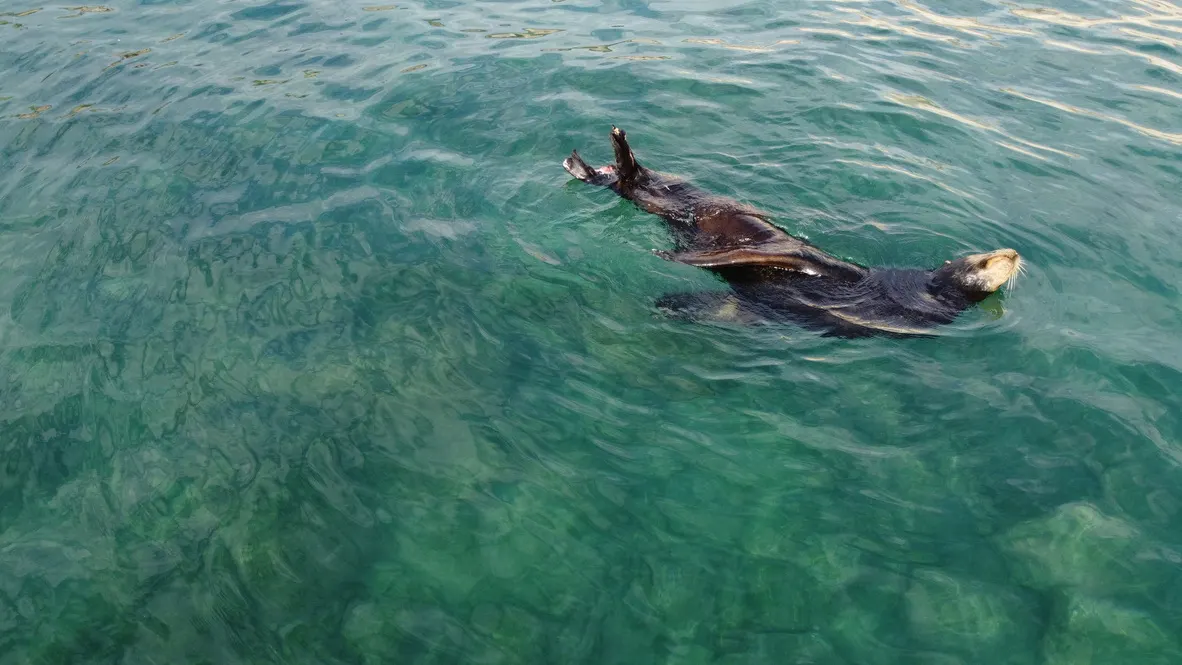
The island is famed for its lizards, although we didn't see any. There is also a reasonably large sea lion colony at the anchorage which makes for some good entertainment.
Anchoring Notes
Anchor in 20ft over sand north of the reef and islets which protrude from the island itself. Be aware of the charted rock to the north which is just below the water line.
We found the swell from the south wrapped around quite a bit, but given that the wind was gusting 30kn from the west, this was a surprisingly good nights sleep albeit a rolly one.
Photos
Quick Answers
- Where is Isla San Estaban?
- Isla San Estaban is at 28°41′N 112°32′W in Baja California, Mexico.
- Is there cell service at Isla San Estaban?
- Isla San Estaban has no cell service, but Starlink works here.
- Does Starlink work at Isla San Estaban?
- Yes — SV Ursa used Starlink at Isla San Estaban.
Ursa Measured Here
4 reports at anchor · 1 night across 1 visit — all values measured aboard SV Ursa
Visits
Passages
- arrived by Punta Las Animas to Isla San Estaban
Weather
Loading live conditions…
Tide
Loading the tide model…