Isla Isabel, Nayarit, Mexico
Isla Isabel, Nayarit, Mexico (21°50′N 105°52′W) is an anchorage with cell coverage onshore only and no Starlink reception.
Location
Cell onshore onlyNo Starlink
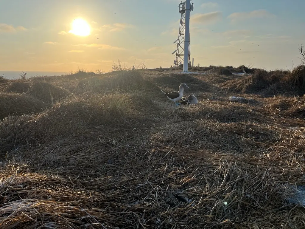
Cell: You can pick up some cell service at the top of the hill by the light beacon. Its enough to get 3g and voice, probably from San Blas tower.
About this Anchorage
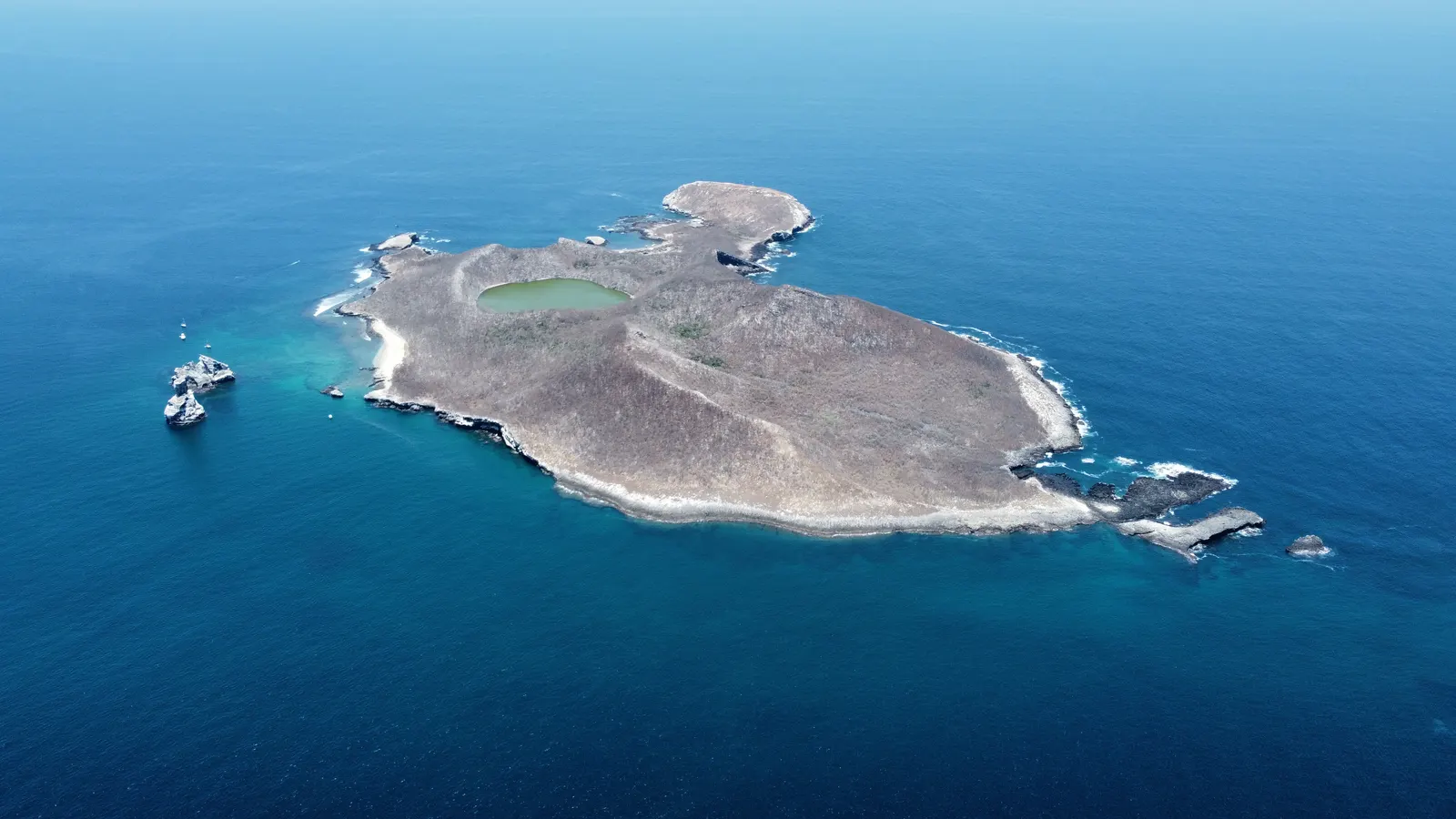
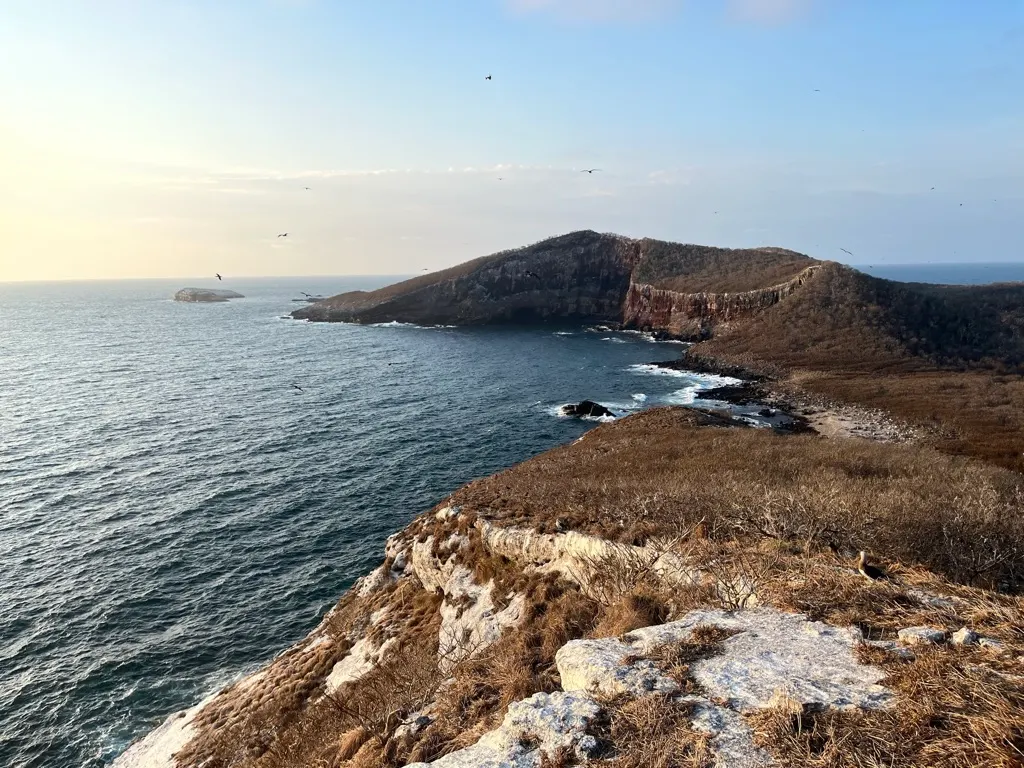
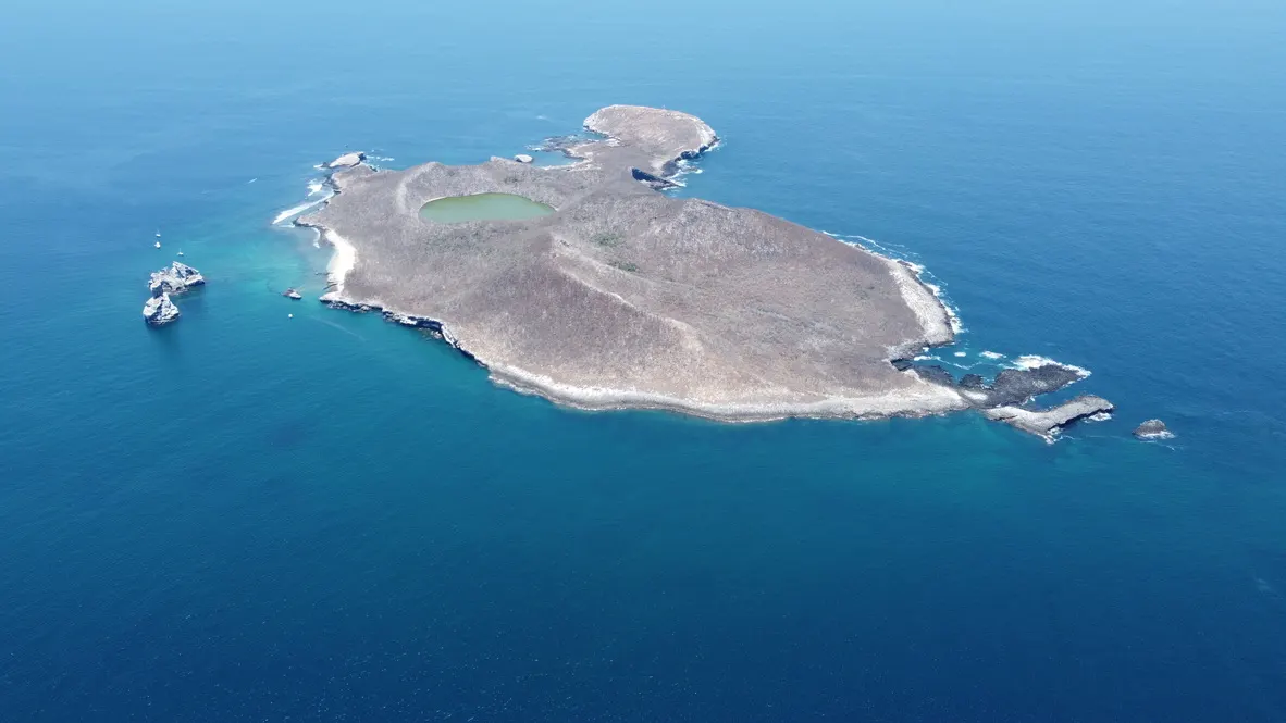
In the right conditions Isla Isabel is a delightful side trip on the way between San Blas and Mazatlan, or during a crossing between Baja and the Mexican main land.
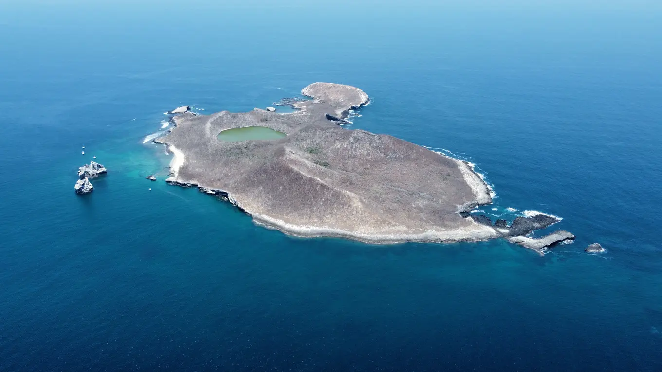
None of the anchorages offer significant wave or wind protection, so generally you want to arrive in settled weather. Most of the protection is from the west, or northwest, and this should be avoided in southerly weather events.
During your stay you can expect to snorkel off rocky pinacles teaming with marine life. We saw eels, massive tunas and other tasty looking food fish, turtles, angel fish, some beautiful corral, and some rays.
Off the south eastern tip of the larger bay there are sea caves and arches you can explore if you dive. Dive tours can be arranged from San Blas.
Anchoring Notes
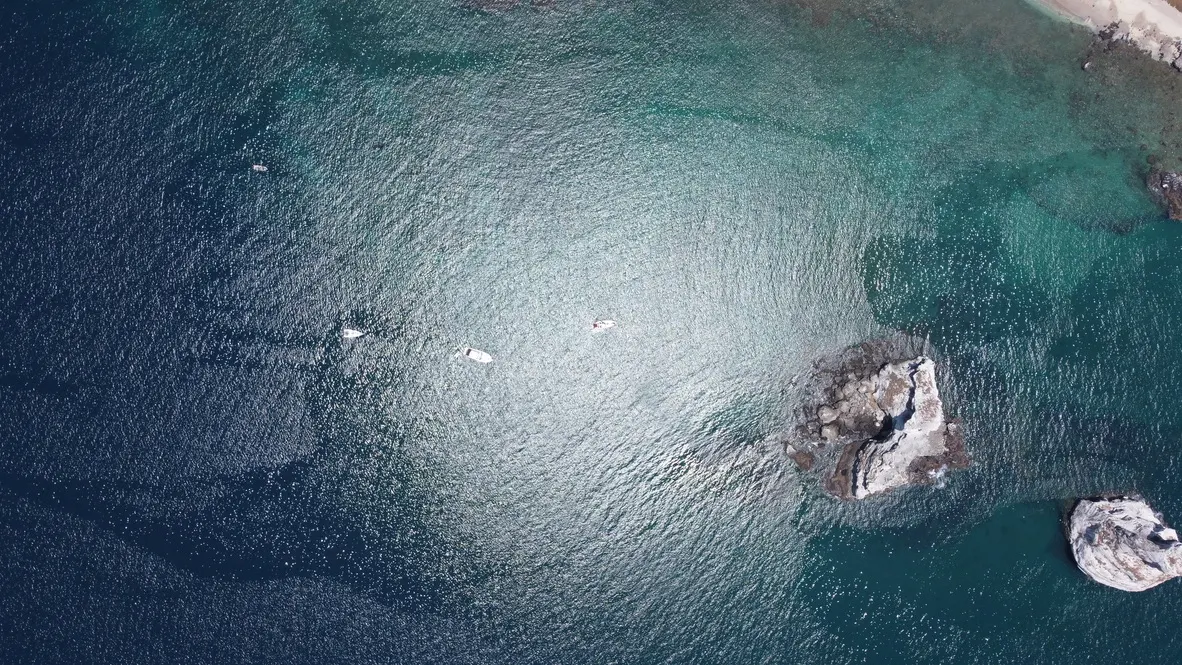
We generally anchor in around 20ft two to three hundred feet off the rock pillars. The bottom is sand over rock. It's worth putting a trip line on your anchor here, and you might as well snorkel around and make sure there's no rocks around to snag on, but we've never had any issues.
It's pretty deep right up to the rock pillars, but it gets rockier in the last 100 ft. During the day thermals from the west will pick up, which funnel through the gap between the pillars, which can make the anchorage a little rolly, but it usually dies down around sunset.
We haven't used it, but the bay at the south offers similar protection, but always seems quite rolly when we dinghy ashore there.
To go ashore, land on the beach in the main bay in front of the fishing hits. You can buy fish from the fisherman if you don't want to catch any for dinner.
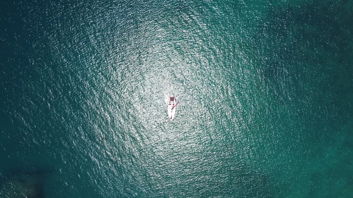
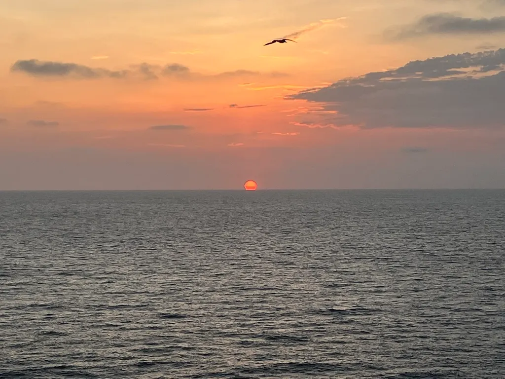
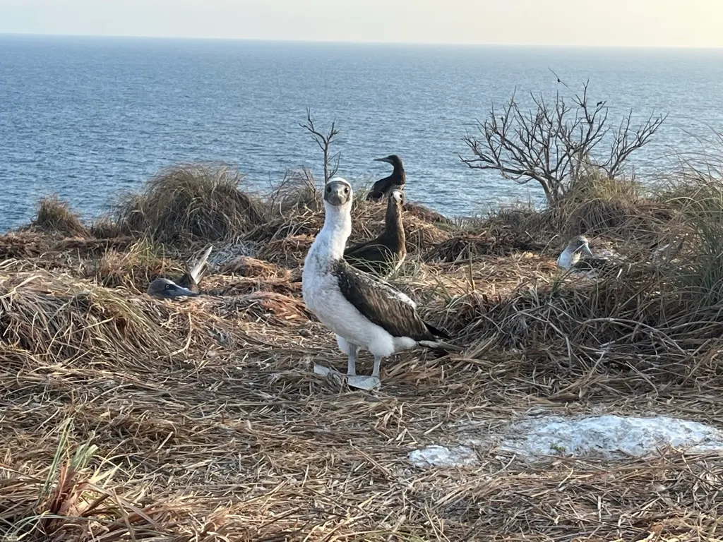
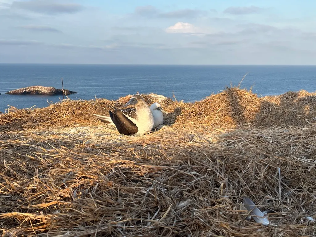
Photos
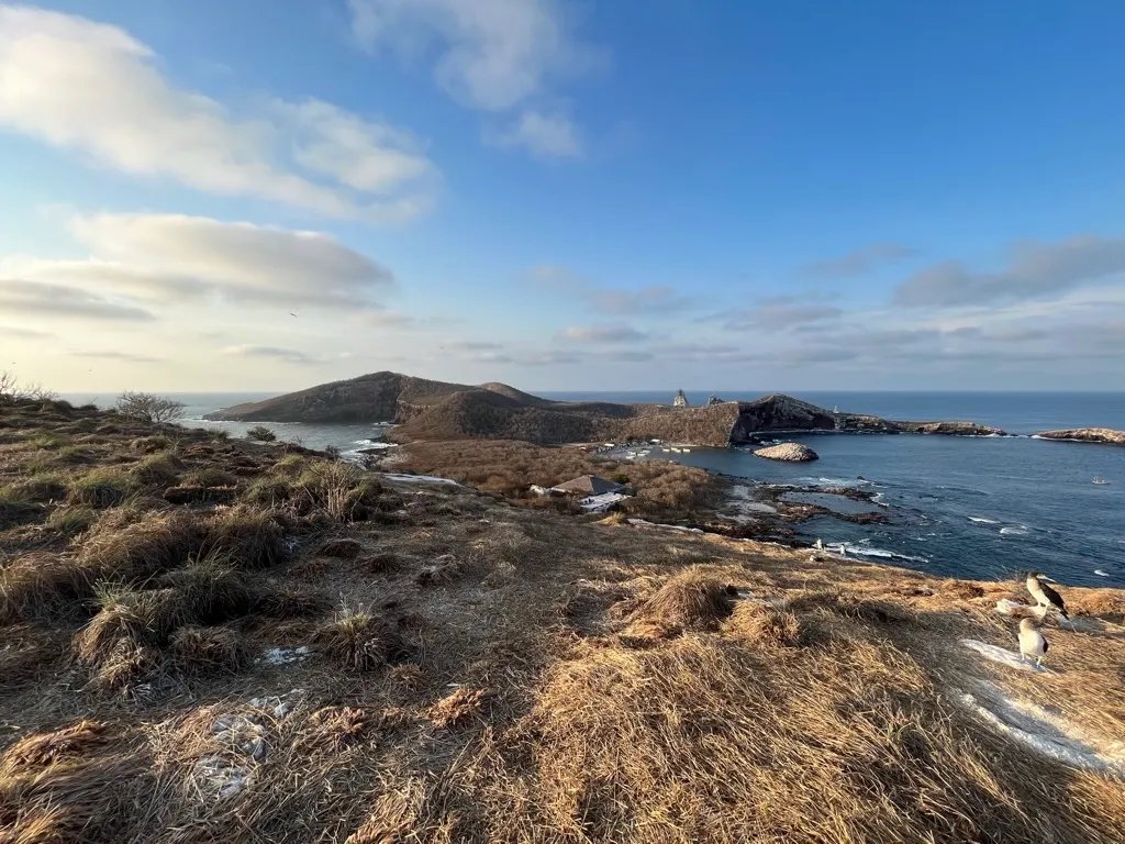
Quick Answers
- Where is Isla Isabel, Nayarit, Mexico?
- Isla Isabel, Nayarit, Mexico is at 21°50′N 105°52′W.
- Is there cell service at Isla Isabel, Nayarit, Mexico?
- Isla Isabel, Nayarit, Mexico has cell coverage onshore only.
- Does Starlink work at Isla Isabel, Nayarit, Mexico?
- No — SV Ursa found no usable Starlink reception at Isla Isabel, Nayarit, Mexico.
Weather
Loading live conditions…
Tide
Loading the tide model…